
Toyako Onsen
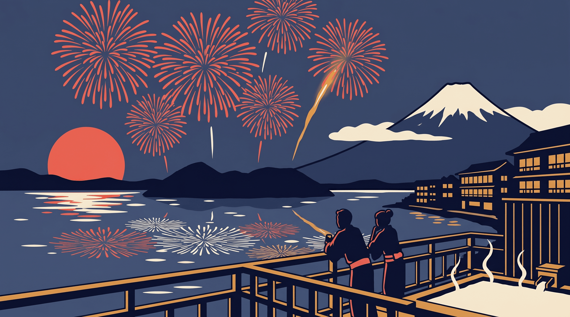
洞爺湖温泉Caldera-lake onsen at the foot of the still-active Mount Usu, inside the Toya-Usu UNESCO Geopark. Nightly summer fireworks over the lake.
A spring born from a 1910 eruption
The water that feeds Toyako Onsen is younger than the buildings of Meiji Tokyo. In July 1910, the northwestern flank of Mt. Usu opened along a chain of forty-five craters; magma met the groundwater under Lake Toya and exploded as steam, lifting a new lava dome that locals would come to call Yosomi-yama. As the eruption cooled, hot water began rising along the lakeshore where none had existed before, and a resort village grew around it. The same volcano kept rewriting the landscape through the twentieth century: a wartime sequence between 1943 and 1945 pushed a wheat field skyward to form Showa-shinzan, recorded crater by crater by the local postmaster Masao Mimatsu; a 1977 summit eruption raised the Usu-Shinzan cryptodome; and in March 2000 more than sixty new vents tore through the western flank, an event from which the town evacuated in time and lost no one. In 2009 the whole landscape was inscribed as the Toya-Usu UNESCO Global Geopark, recognised as much for the people who keep returning to live beside the volcano as for the geology itself.
Caldera lakeside, evenings on the water
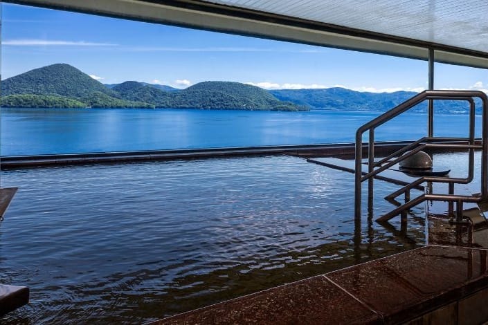
Toyako sits on the southern shore of a near-circular caldera lake about ten kilometres across, ringed by low hills with Mt. Yotei rising white and conical to the west and the steaming shoulder of Mt. Usu close behind the town. From late April to the end of October, fireworks are launched every night from boats that drift along a two-kilometre arc of the lake, so the bursts move past the inn balconies rather than hanging in one place. By day the heat under the town surfaces in foot baths along the promenade and in the Konpira and Nishiyama walking trails, which lead out of the resort through the neighbourhoods evacuated in 2000: a buried public bath, a tilted apartment block and a broken bridge have been left exactly where the eruption found them, with cedar boardwalks threaded between.
Cable car, summit memory
A ropeway climbs the eastern face of Usu to a ridge above Showa-shinzan, where on clear days the view takes in the caldera, the Pacific and the lava dome still venting its faint white plume. The 2008 G8 Summit was held at the Windsor Hotel on the rim above town, and a small memorial museum near the visitor centre keeps that week of negotiations in the local record alongside the older volcanic chronicles.
Places in this area
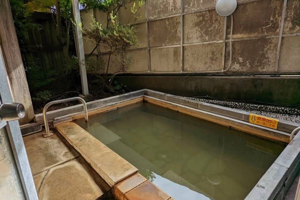
6 places · Sorted by rating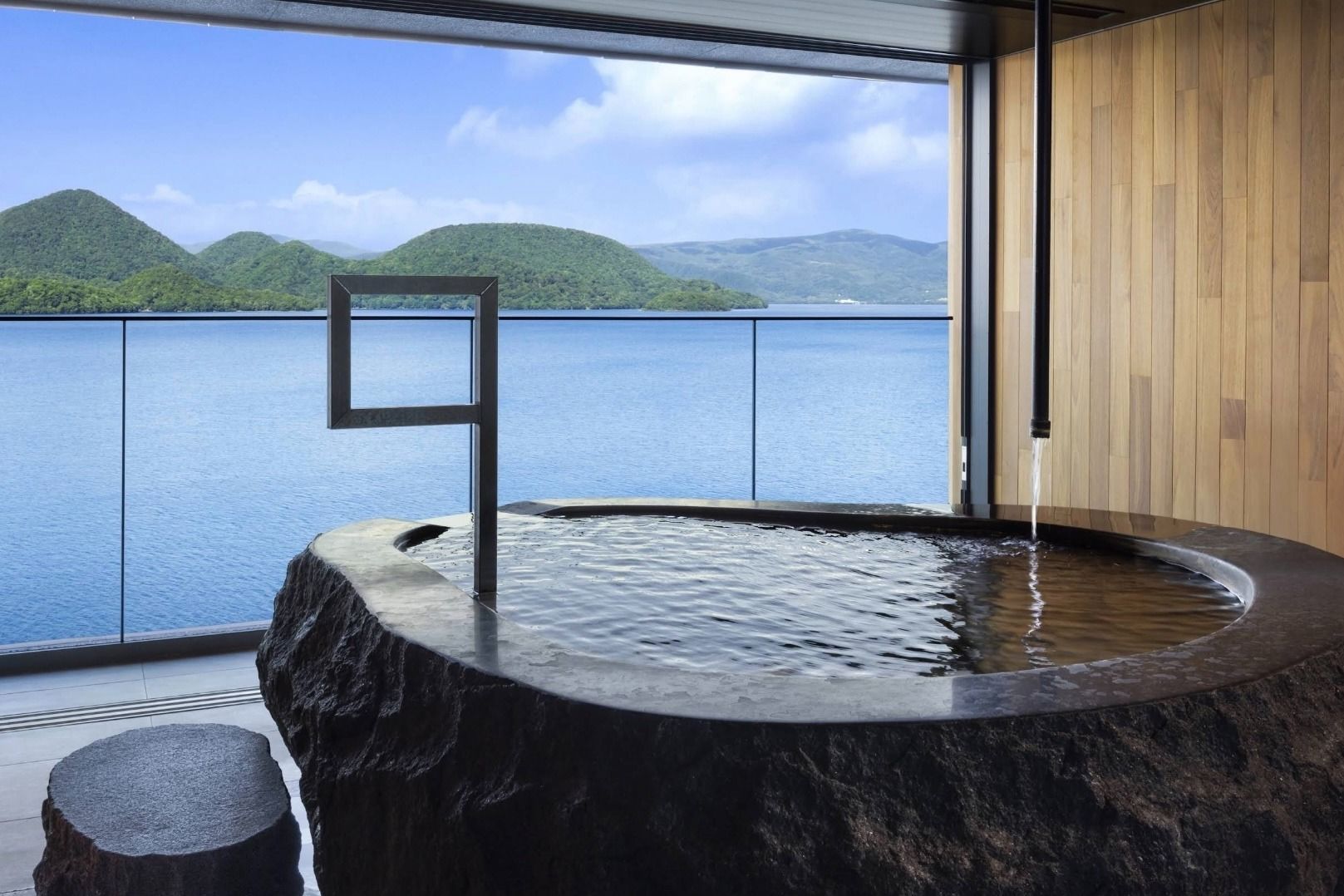
On the map
Loading map…
Nearby onsenchi
Within 50 kmSources
- Toyako Onsen Tourist Associationofficial— Town tourism office. Source for the long-run fireworks schedule, geopark framing, and access information.
- Toya-Usu UNESCO Global Geoparkofficial— Official geopark site. Reference for the caldera geology and the conservation philosophy of "living with an active volcano".
- Wikipedia — Mount Usu— Cross-check for the 1910, 1944, 1977 and 2000 eruption chronology.
- Wikipedia — Showa-shinzan— Background on Masao Mimatsu's documentation and the dome's wartime emergence from a wheat field.
- Japan Guide — Usuzan and the West Craters— Practical description of the Konpira and Nishiyama walking trails through the 2000 eruption zone.