
Utoro Onsen
ウトロ温泉Gateway onsen to Shiretoko, the easternmost UNESCO World Heritage site in Japan. Sodium chloride springs on the Okhotsk coast, with sea ice drifting past hotel windows in winter.
A fishing harbour at the end of the earth
Utoro sits at the western entrance to the Shiretoko Peninsula, on the Sea of Okhotsk coast of north-eastern Hokkaido. The settlement was a small Ainu and later Japanese fishing village, and the name itself comes from the Ainu Uturu-ci-kus-i, glossed roughly as "the place where we pass through." The peninsula's own name, Shiretoko (from sir-etok), simply means "the end of the earth," a fitting label for this remote spit of land that the Ainu had inhabited long before the modern village took shape.
Hot water was a late addition. Drilling in the late 1960s tapped a salt-rich source under the coast, and the bathing district was formally established in 1971. In 2005, UNESCO inscribed the Shiretoko Peninsula on the World Heritage List for its unbroken food chain from drift-ice plankton to apex land predators, recognising it as the southernmost place in the Northern Hemisphere where seasonal sea ice reliably forms.
Drift ice, the Okhotsk, and a salt-rich coastal spring
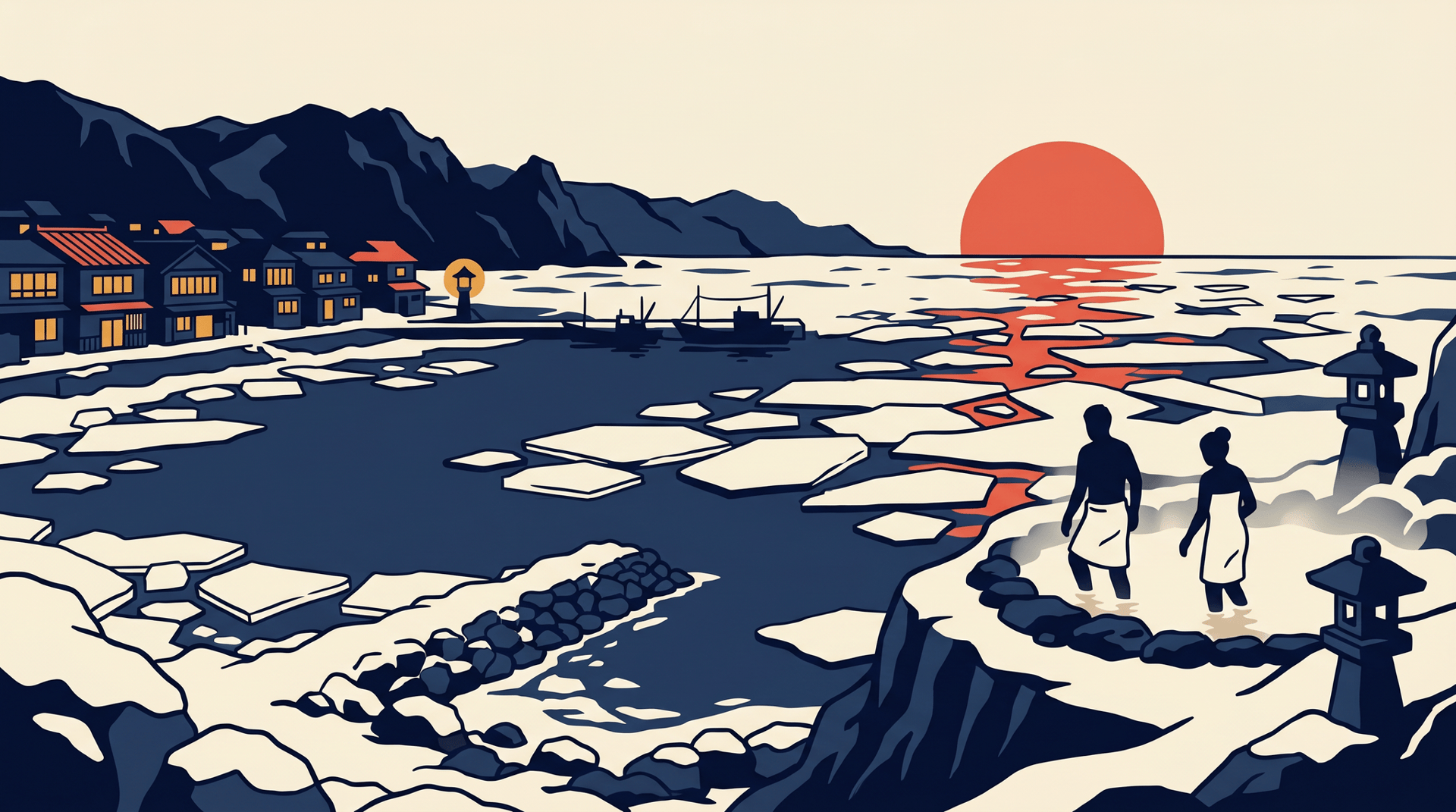
The waters of Utoro Onsen are sodium-chloride and bicarbonate springs, faintly iron-tinted and warmed by the dormant volcanic spine of the peninsula. Bath windows give onto the Okhotsk, and in February and early March the sea outside fills with drift ice (ryuhyo) that arrives down from the Amur basin. Specialised guides lead drift-ice walks on the floes during these weeks, the only place in Japan where the activity is offered.
From the same harbour, summer brings the Shiretoko Five Lakes boardwalks and the trailheads of the national park. Oshinkoshin Falls, eighty metres wide and split into twin streams, drops beside the highway just south of town, its Ainu name marking a stand of Ezo spruce that once grew along its banks.
Coast cruises and the brown bears
Between late April and October, sightseeing cruises leave Utoro Port for the rocky western coast of the peninsula, with smaller boats running close inshore to Rusha Bay, where wild brown bears (higuma) routinely appear on the shingle beaches with their cubs. Larger vessels continue to Cape Shiretoko at the tip, a three-hour round trip past sea cliffs and waterfalls that no road reaches. Back ashore at sunset, the bathhouse windows look straight out at the sun dropping into the Okhotsk.
Places in this area
6 places · Sorted by ratingOn the map
Loading map…
Nearby onsenchi
Within 50 kmNo nearby onsenchi within range.
Sources
- Shiretoko Shari Town Tourist Associationofficial— Official destination authority for Utoro and the wider Shari side of Shiretoko. Reference for accommodations, sightseeing cruises out of Utoro Port, and the visitor centre.
- Shiretoko National Park (National Parks of Japan)official— National Park designation, ecology of the peninsula, and Utoro's role as the western gateway to the park.
- UNESCO World Heritage Centre — Shiretokoofficial— Confirmation of the 2005 World Heritage inscription and the citation as the southernmost regular seasonal sea-ice formation in the Northern Hemisphere.
- Wikipedia (EN) — Shiretoko Peninsula— Cross-check for the Ainu etymology of Shiretoko (sir-etok, "end of the earth"), the volcanic backbone of the peninsula, and the brown-bear habitat.
- Japan Guide — Utoro Town— Background on Utoro as the principal settlement and transport hub on the western Shiretoko coast.