

Izukogen Onsen
伊豆高原温泉A planned highland resort above Ito on the eastern Izu Peninsula, laid out in the 1960s on lava from Mt. Omuro, with mild simple-thermal springs, sea-view open-air baths, pensions and small art museums, the Jogasaki Coast, and a cherry-blossom avenue.
A highland resort with the sea in view
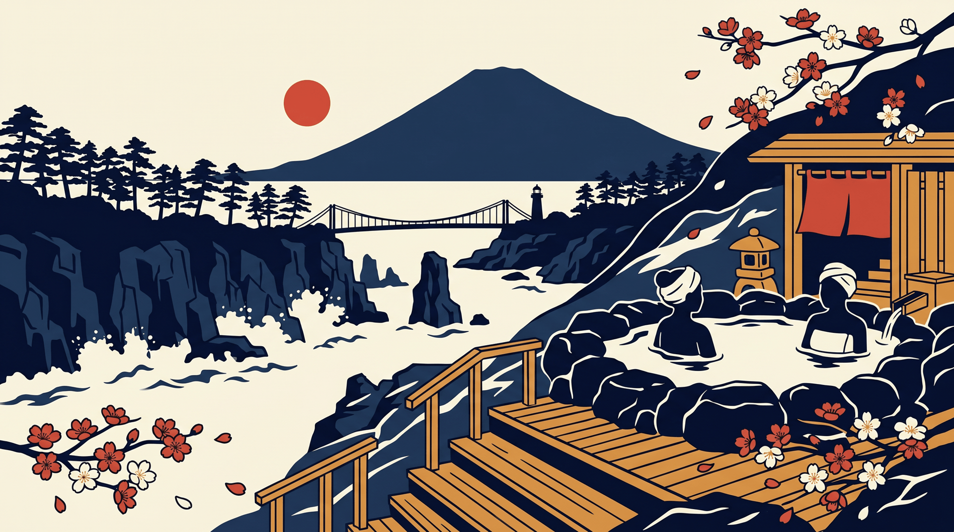
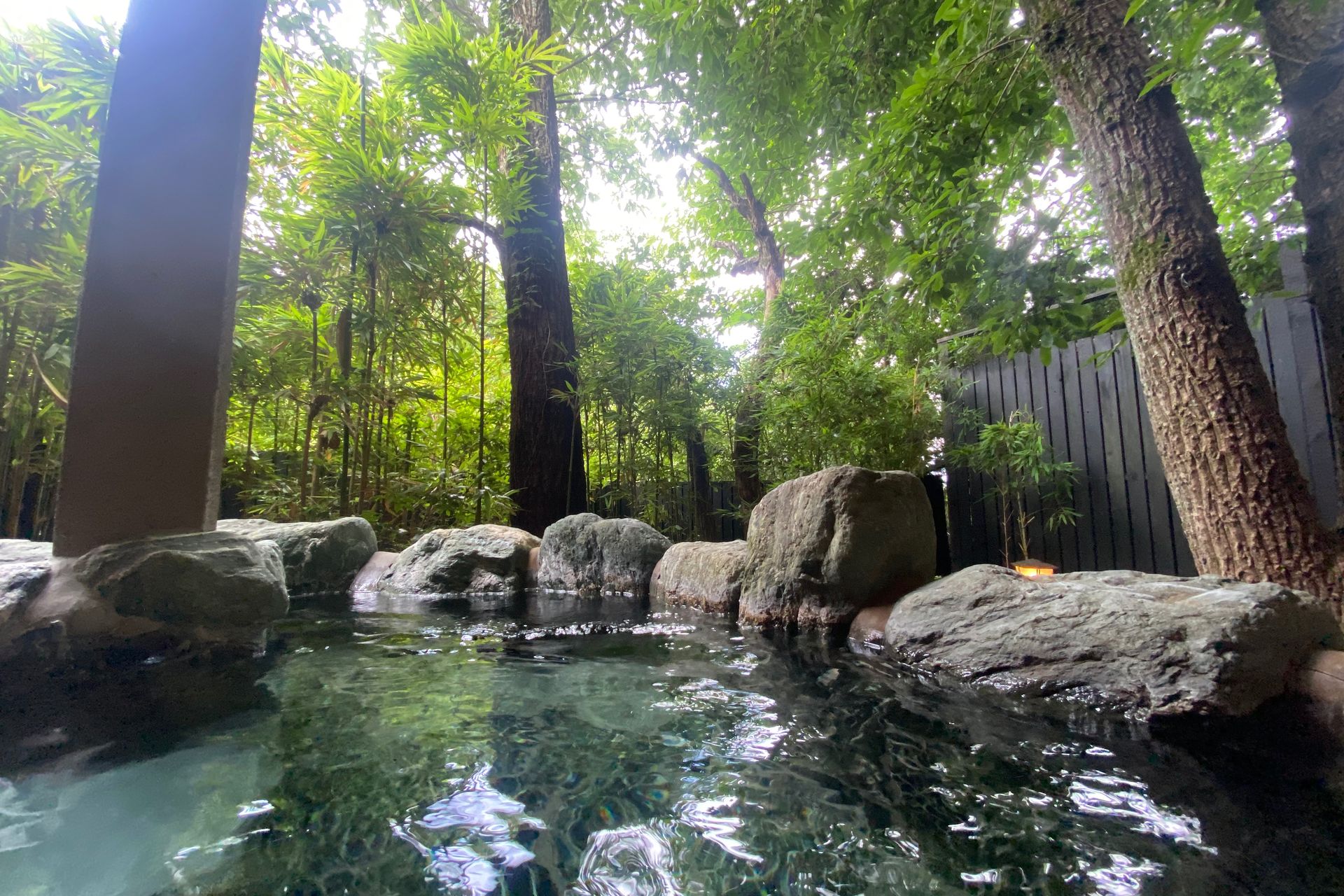
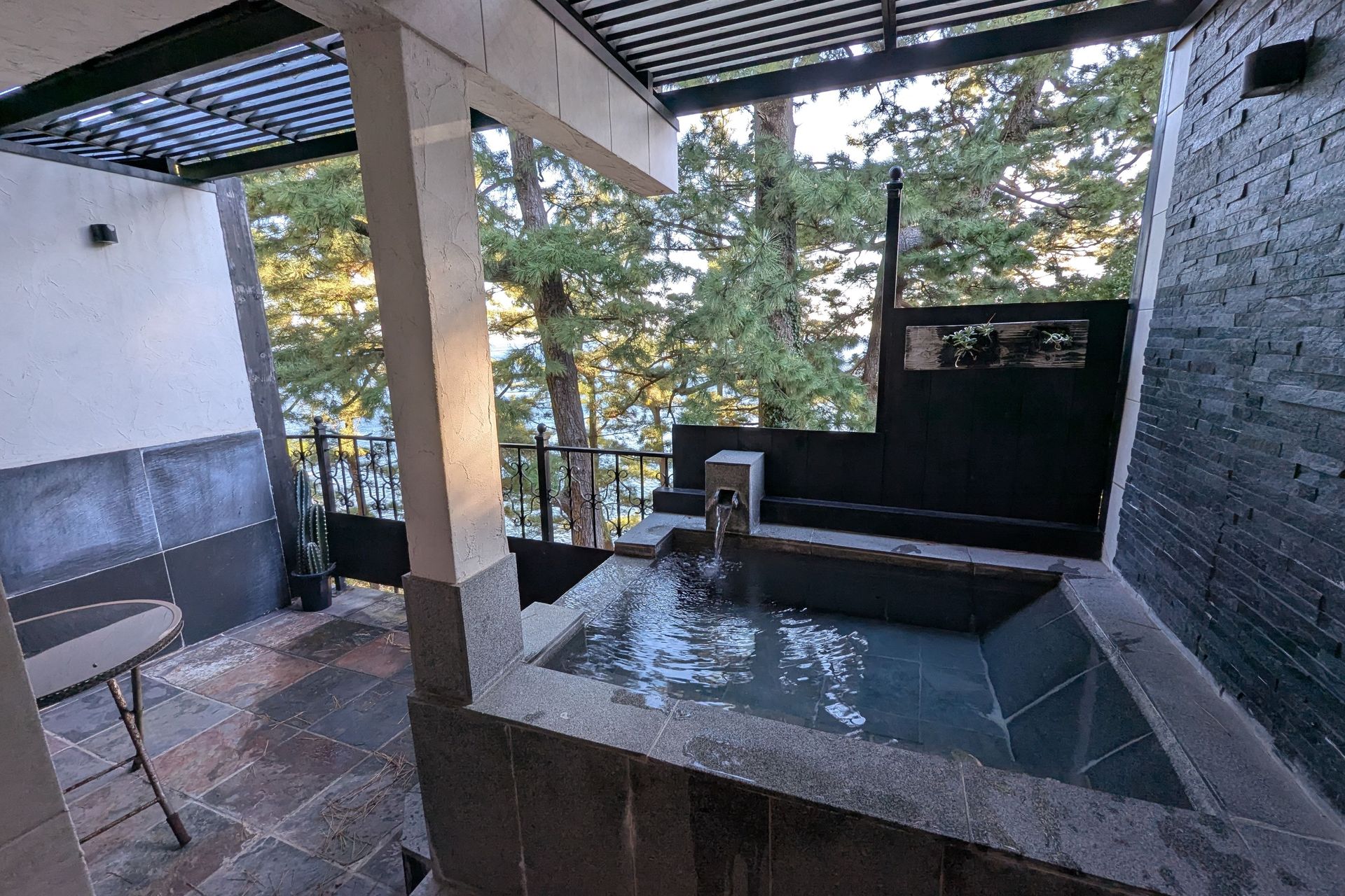
Izu Kogen is a young hot-spring district by the standards of the peninsula. Where Atami (熱海) was carting tribute water to Edo Castle in the seventeenth century, the highland above Ito (伊東) was still open scoria slope until the Izukyu line reached it in the early 1960s and the railway company laid out a planned resort across the gentle apron of lava south-east of Mt. Omuro (大室山). Hot water was piped in rather than struck on site, and the springs run mostly to the mild simple thermal (単純温泉) type, with chloride and sulphate sources among them. The development that followed set the character that holds today: large wooded lots, wide quiet roads, and a scatter of couple-run pensions, small private art museums, craft studios for glass and ceramics, and holiday villas, rather than the stacked ryokan terraces of the older coastal towns. The reward of the elevation is the view, and many baths here are cut so that the open-air bath (露天風呂) looks out over the pines to the Pacific.
The volcano that made the landscape
The whole highland is the work of one eruption. About 4,000 years ago Mt. Omuro built itself as a near-perfect grass-covered scoria cone, roughly 580 m high and shaped like an upturned bowl, and sent lava four kilometres down toward the sea. That lava is the ground Izu Kogen sits on, and where it met the water it cooled and was cut back by the waves into the Jogasaki Coast (城ヶ崎海岸), a run of black basalt sea-cliffs threaded by a nine-kilometre coastal trail. The signature stop is the Kadowaki suspension bridge (門脇つり橋), slung across a cleft in the rock, with the white Kadowaki lighthouse (門脇埼灯台) above it for a panorama back along the cliffs. Omuro itself is a designated natural monument and an Izu Peninsula geosite; a chairlift carries visitors up the otherwise trackless cone to walk the crater rim, and each February the entire mountain is set alight in the yamayaki (山焼き), a controlled burn kept up for centuries that clears the slope and turns it black before spring greens it again.
Around the highland
Closer to the station the resort softens into gardens and galleries. The cherry-blossom avenue (桜並木) runs for some three kilometres out from Izu-Kogen station, a tunnel of blossom in early spring, and the wider plateau is dotted with the small museums and craft workshops that have always been the area's quiet draw.
Places in this area
10 places · Sorted by rating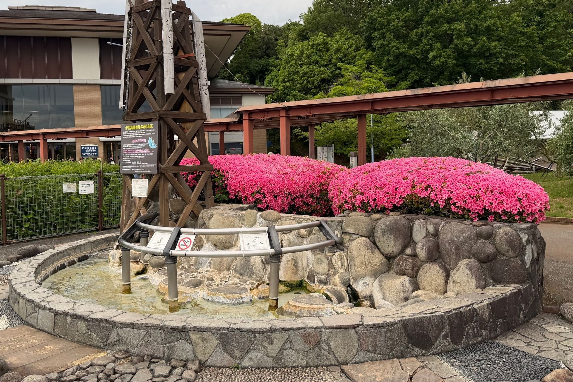 Foot Bath
美足の湯
Shizuoka
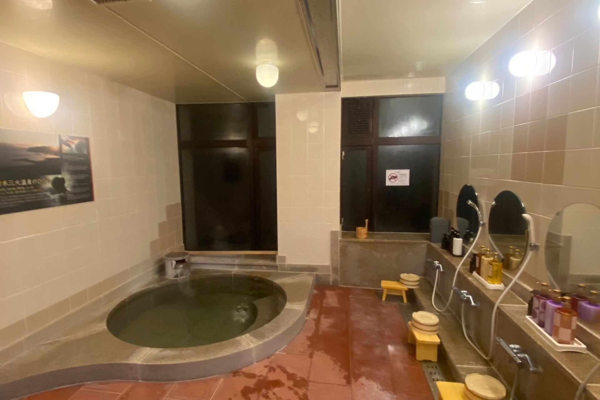
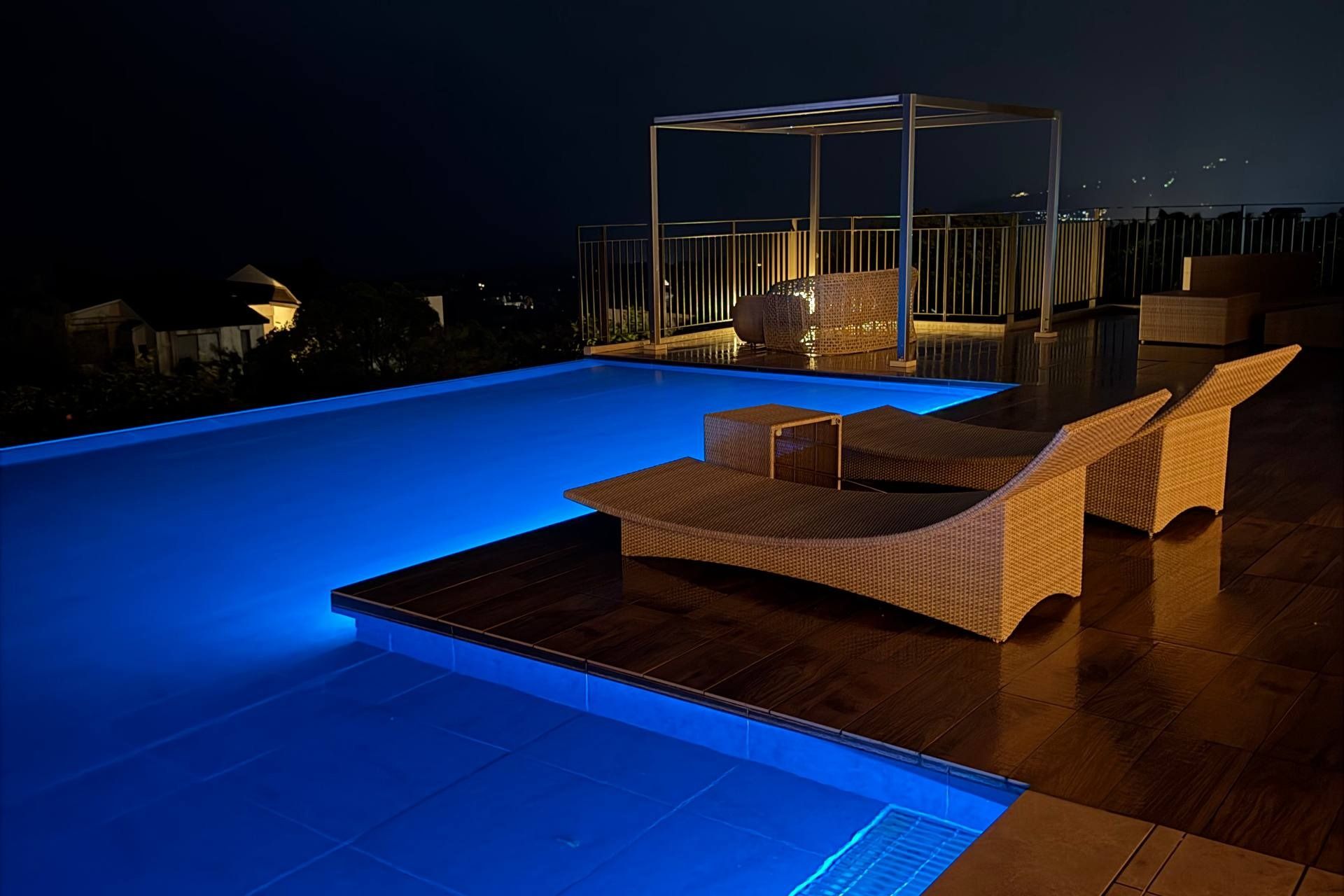
横浜藤よし伊豆店
Shizuoka
花吹雪
Shizuoka
 Other
Other夢のや
Shizuoka
On the map
Loading map…
Nearby onsenchi
Within 50 kmSources
- Ito City Tourism Association — Jogasaki Coastofficial— Municipal tourism page covering the lava coastline, the Kadowaki suspension bridge, and the 9 km picnic trail.
- Mt. Omuro — Official Siteofficial— Operator site for the chairlift, the February yamayaki burn, and the mountain's geosite and natural-monument status.
- Mount Omuro (Shizuoka) — Wikipedia (EN)— General reference for the 580 m scoria cone, the eruption that built the highland, and the lava-formed Jogasaki Coast.